145.49 MHz (-600 KHz); PL 107.2 Hz
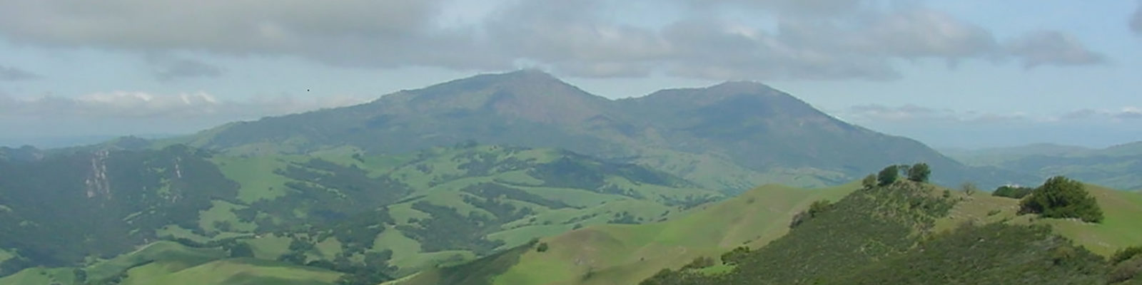
Bald Peak is located in western Contra Costa County between the cities of Orinda and Berkeley at an altitude of approximately 1900 ft.
The below video was created by Google Earth. The video starts with a birds eye view of Bald Peak and pans upwards in a northerly direction towards the Upper and Lower San Pablo Dam Road Reservoirs. The white lines you see to the right of radio site point to Kregor Peak (top) and Highland Peak (bottom) during the opening seconds of the video. The video then pans from north to west looking at the western Contra Costa County cities of Crockett, Rodeo, Pinole, El Sobrante, San Pablo, Richmond and El Cerrito. In this same area you will see the counties of Solano, Napa, Sonoma and Marin. The video continues to pans from west to south to east picking up the Golden Gate Bridge, the cities of San Francisco, San Mateo, Oakland, Berkeley, Hayward and San Jose. All of these cities are in the counties of San Francisco, San Mateo, Santa Clara and Alameda. As the pan continues to the east you see Orinda, Moraga, Lafayette, Alamo, Mt. Diablo, Walnut Creek, Concord, Clayton and Martinez in the distance. The video ends where we started the 360 degree pan with the Upper and Lower San Pablo Dam Road Reservoirs in sight.
For a sweeping panorama view from the top of the tower at Bald Peak please watch the video below.