147.735 MHz (-600 KHz); PL 107.2 zx
Kregor Peak is located in northern Contra Costa County between the cities of Clayton and Pittsburg at an altitude of approximately 1900 ft.
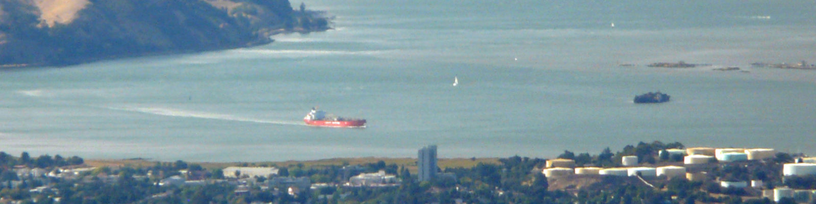
The below picture is a video created by Google Earth. The video starts with a birds eye view of Kregor Peak and pans upwards in a northerly direction towards the City of Pittsburg and Solano County where you will find the cities of Fairfield and Vacaville. The white line you see to the left of the radio site points towards Bald Peak and the bottom white line points towards Highland Peak during the opening seconds of the video. The video then pans from north to west looking at central Contra Costa County cities of Martinez, Concord, Pleasant Hill, Walnut Creek and Clayton. In this same area you will see the counties of Solano and Napa in the distance. The video continues to pans from west to south to east picking up Mt. Diablo, Discovery Bay, Brentwood, Knightsen, Oakley and Antioch. In the distance you see the San Joaquin Valley, Sacramento Valley and Sierra Mountains. This is where you will also find the cities of Modesto, Stockton and Sacramento. The video ends where we started the 360 degree pan by looking at the Sacramento Delta and the City of Pittsburg in sight.
For a sweeping panorama view from the top of the tower at Kregor Peak please play the video below.