Welcome to Third World California!
Pacific Gas and Electric (PG&E) in their infinite wisdom has implemented turning off power in areas where there is a greater potential for fires when the wind blows. Of course the latest fire was caused by a transmission line that couldn’t fail but then started the Kincade Fire in Sonoma County…but who’s counting. In any event, you can find out if you are at ground zero for darkness by going to their website to find out when and if they decide you no longer need power. Click on the below link for the PG&E Power Outage Center.
PG&E Power Outage Center website
For tracking aircraft that are fighting wild land fires or any aircraft I recommend Flightradar24. It is a global flight tracking service that provides you with real-time information about thousands of aircraft around the world. Their service is currently available online and for your iOS (iPhone, iPad, iPod Touch) or Android device. Click on the below link for the Flightradar24 website.
Flightradar24 website
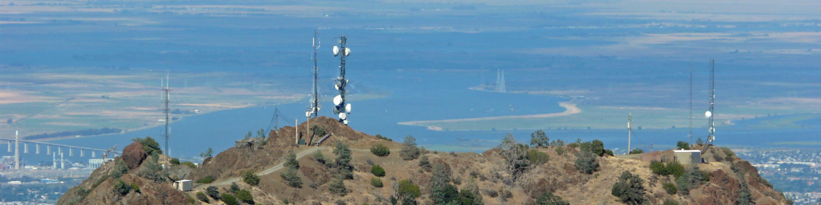
ALERT Wildfire is a website that aggregates mountaintop fire lookout cameras from across the western United States. Various agencies control the use of the camera as they look for and track wild land fires. Of special interest is the number of cameras covering the San Francisco Bay Area and their use in monitoring the fires in our area. Click on the below link for the ALERT Wildfire website.